Details
Start

Description
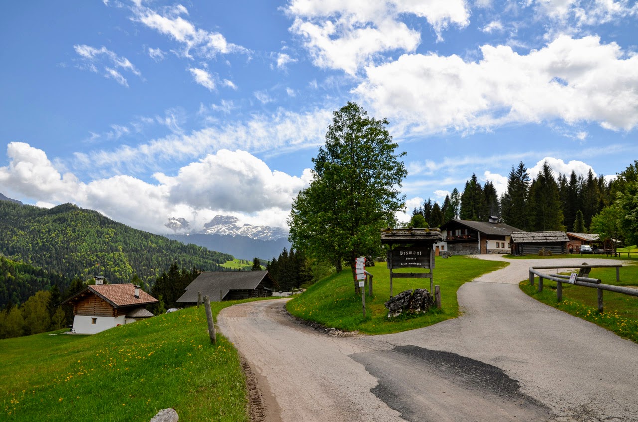
The meadows of the locations of Dismóni and Cosaipi, facing the entire subgroup of Sass Maór, belonging to the Dolomites of the Pala Group, are undoubtedly a very popular tourist destination, thanks both to the excellent status of their historic huts with their architectural details and to their extremely well maintained meadows.
The route leading from the hut of Maso Raris to Dismóni is about 3 km long and can be handled by everyone; the first section climbs up to the crossroads of Pian del Tèrmen, gaining approximately 250 m of altitude, then the track continues along the gravel road that descends, leading directly to the location of Dismóni.
From Maso Raris (1,154 m asl), leave the Maso ground at the end of the upper parking lot and cut across under the forest. After 50 m you will reach a grass field with the neighboring houses visible looking down, on your right. Keep going at the same altitude until the end of the grass field, then continue uphill in the forest. After a first stretch of 150 m between the trees, you get in front of a short but steep slope, which you climb up while keeping the same direction. Once up the slope, you will see on the right a white house with a so-called Vivaio Forestale (tr. forest nursery) next to it. Once reached the Vivaio Forestale (1,220 m asl), the hike continues going up towards the W along the trail of the Signpost No. 359, towards Pian del Tèrmen / Malga Crél / San Martino di Castrozza. The track, sometimes steep but always wide and well marked, goes up the eastern slopes of Mount Bedolé leading to the crossroads of the Pian del Tèrmen (1,400 m asl).
From the crossroads, the trail turns left, towards Dismóni / Prati di Cosaipi, following the gravel road of the Signpost No. 377. After a flat stretch of 500 m, the road begins to descend more steeply towards the meadows of Dismóni. After two hairpin bends, the gravel road then leads to the paved access road to Dismóni, which forks from the main road SS 50 of Passo Rolle, just a few meters from the Dismóni Restaurant (1,257 m asl), visible in front of it with its beautiful sight over the Pala Group.